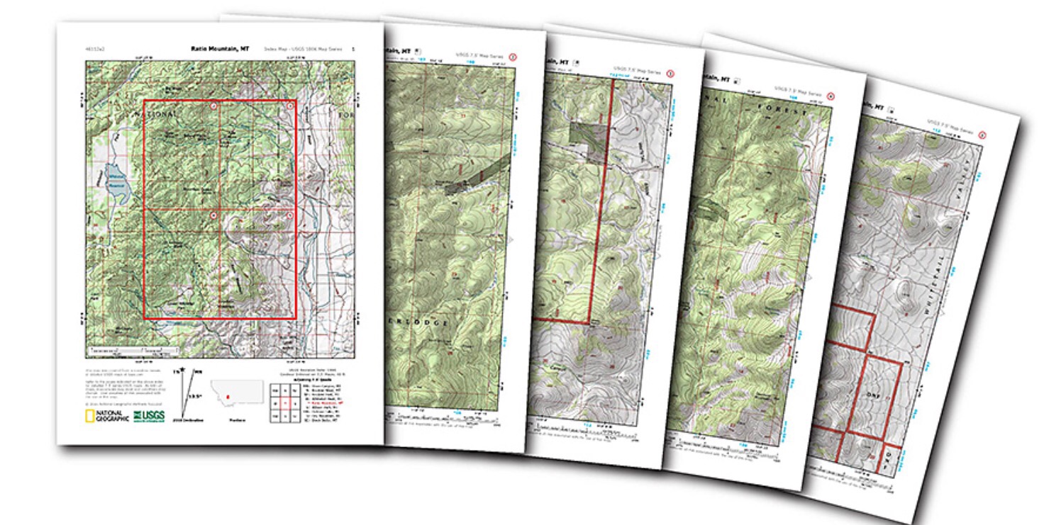
National Geographic has built an easy to use web interface that allows anyone to quickly find any 7.5 minute topo map in the continental U.S.A. for downloading and printing. Each topo map has been pre-processed to print on a standard home, letter size printer. These are the same topo maps that were printed by USGS for decades on giant sized presses but are now available in multi-page PDFs that can be printed just about anywhere.
Click the link to the website below that contains the instructions:
http://www.natgeomaps.com/trail-maps/pdf-quads#internalmap